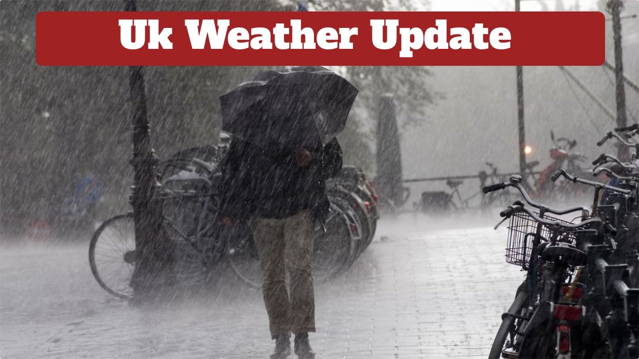
UK Weather Forecast: A cold wave is expected to sweep across many parts of the UK starting next week. Despite a long, hot and dry summer, September has begun with a change in temperatures. This week has been humid and sunny, with occasional spells of wind and rain – but the weather will return to a more normal state over the next few weeks. According to the Met Office, a “high pressure” will develop, meaning the weather in the UK will remain more stable over the next few weeks into autumn. Snowfall is also possible in some parts of the UK, as temperatures drop to around 10 degrees Celsius.
Initially, high pressure will prevail across many parts of the UK, resulting in largely stable weather and isolated instances of frost and fog at night. The main exceptions will initially be East Anglia and southeastern England, where occasional rain accompanied by strong winds is possible.
Until early October, confidence in the overall weather pattern affecting the UK is low. Although it may become more variable, the wettest conditions are likely to be towards the west and northwest.
Persistent and heavy rain in parts of northern England may gradually ease early Sunday. Some rain is expected in parts of northern Scotland and Wales during the morning, although most areas will start the day dry and bright. Clouds in the south will clear by afternoon, although rain is likely to persist in coastal areas of eastern, northern Scotland, and Northern Ireland.
The day will be quite cool in Scotland, with maximum temperatures of 11-13°C and strong northerly winds gusting up to 50 mph in some places. In the south, maximum temperatures could reach 16 or 17°C. However, winds gusting up to 35 mph are possible again, making the weather quite cold.
By evening, winds will also lighten, and the rain will subside. Most areas will have clear skies and dry weather by the end of the day, leading to a significant drop in temperatures at night.
