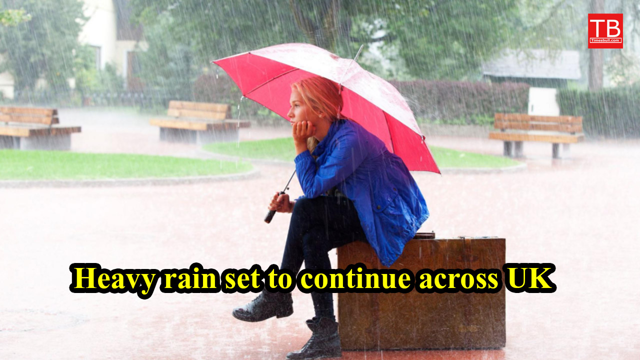
The Met Office has issued a yellow weather warning for rain in parts of South Wales. This warning will remain in effect until 23:00 BST on Wednesday night. Weather experts have warned that heavy rain is possible in many places and there is a risk of local flooding.
Rainfall levels could exceed 100 mm
Meteorologists predict widespread rainfall of 30–40 mm this week, with some areas seeing up to 70 mm. Higher elevations could receive up to 100–150 mm of rain, potentially disrupting road traffic and causing flooding in vulnerable areas.
Jimmy Kimmel show taken off air after Charlie Kirk comments
This unsettled weather is linked to a slow-moving weather front that is stuck over Wales and northern England. Another low-pressure area arriving from the Atlantic could intensify the rainfall over the weekend.
Regional weather conditions: Varying conditions in different parts of the UK
Northern Ireland: Light rain is possible in the southeastern parts, but no significant humidity is expected as in recent weeks.
Scotland: Rain and strong winds will gradually subside, turning into showers. By the weekend, cold winds will arrive, and snowfall is possible on the higher mountains.
Southeast England, the Midlands, and East Anglia: The opposite will be the case here. It will be warm throughout the week, with temperatures expected to reach 26°C on Friday. However, cold winds and rain will return by the weekend.
September Rainfall Already Above Average
Many parts of the UK have already received twice the amount of rainfall in September. Low pressure, combined with persistent southwesterly winds, has exacerbated the situation. For example, Cardiff has already received more rain this month than it did all summer.
Not only Wales, but many parts of Northern Ireland, Northwest England, and Southern England have also been drenched by persistent rain, and are likely to be flooded before the month ends.
US to invest £150bn in UK, promising thousands of jobs
When will the weather improve?
The Met Office says relief may come in the last week of September. High pressure will bring dry and stable weather, with plenty of sunshine.
However, temperatures may remain slightly below average. There’s a chance of frost at night in rural areas, and mist and fog may also develop in the morning.
People often ask:
1. How much rain will Wales receive this week?
The Met Office predicts widespread rainfall of 30–40 mm, with some higher elevations seeing up to 100–150 mm.
2. Which part of the UK will be the driest?
Southeast England, the Midlands, and East Anglia will be the driest and warmest in the coming days. Temperatures here could reach 26°C by Friday, though cooler winds and rain will return by the weekend.
3. When will heavy rainfall in the UK subside?
The return of high pressure in the last week of September will bring dry and stable weather. This will reduce rainfall and bring sunshine.
4. Has September rainfall been above normal?
Yes. Many areas, including Cardiff, have received almost double the average rainfall, with some areas receiving even more rainfall than during the summer.