UK Weather Update: The remnants of a storm with 140 mph winds, rapidly approaching Europe, could bring torrential rain across Britain in the coming days. Hurricane Gabrielle is now a Category 4 hurricane in the Atlantic Ocean, with meteorologists believing it has the potential to cause “catastrophic damage.” Hurricane Gabrielle is only the second major hurricane of the Atlantic hurricane season. It has rapidly intensified as it approaches Bermuda, but will make a sharp right turn before reaching land. Current weather models indicate that it will be caught in a weather front moving eastward across the Atlantic and heading towards Europe.
Autumn Starts with Rain
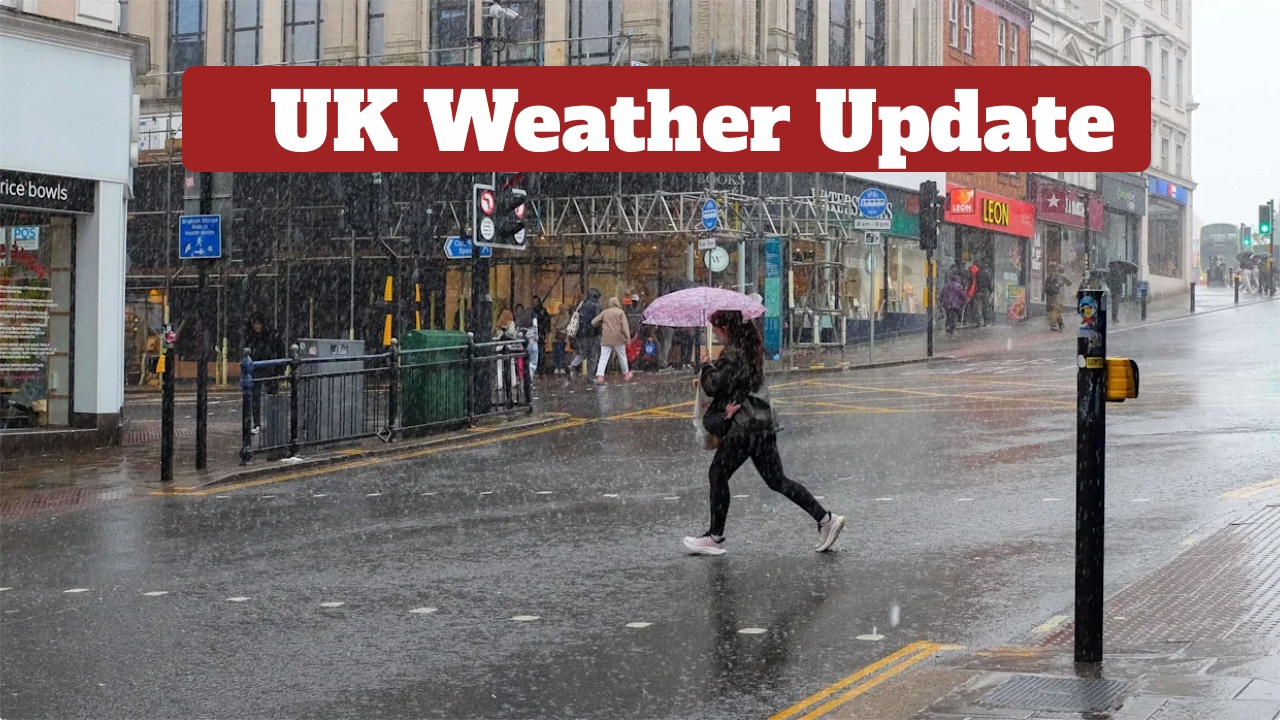
According to the Environment Agency, England has recorded above-average rainfall this month for the first time since January. The week of September 12-18 was the wettest in “almost a year.” Cardiff has already received twice the amount of rain compared to an average September this month, with around 70 mm of rain falling in mid-Wales, the Yorkshire Dales, and the North York Moors.
A spell of rain is expected to reach western parts of Britain on Saturday, then gradually and irregularly move eastward across much of the country, or all of it, by Sunday. Heavy rainfall alerts have been issued in some areas. Gabrielle had maximum sustained winds of 140 mph on Monday afternoon as it moved east-southeast of Bermuda. On Monday afternoon, it was centred 180 miles from Bermuda and moving north-northeast at 12 mph. Meteorologists said waves could cause “life-threatening waves and strong rip currents.” The Atlantic hurricane season ends on November 30.